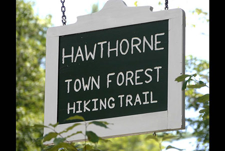
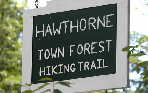
Hawthorne Town Forest
-
This 111-acre forest is located close to the center of Hopkinton Village, yet the well used hiking trail has a wild and remote feeling as it passes through thick hemlock groves and a steep gorge. The Hawthorne Forest trails connect to the Hopkinton Village Greenway.
Directions:
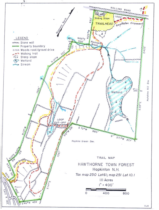
From Hopkinton Village, proceed north on Briar Hill Road for 0.3 miles, then right on Rollins Road for 0.3 miles. The parking pullout is located on the right.Walking times:
Full 1.7 mile loop: 40 minutes. Shortened loop via cut-off trail: 25 minutes. -
This 111-acre town-owned lot is located just east of Hopkinton Village between Rollins Road and the east end of Main Street.
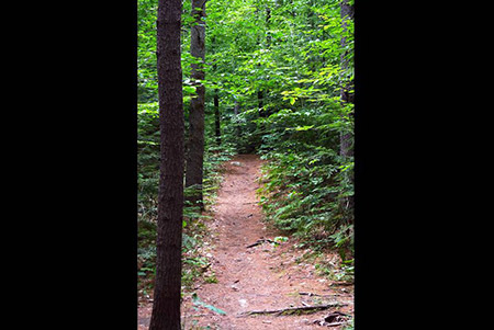
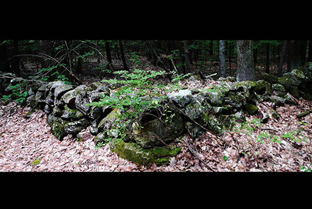
Despite its location close to the town center, the thick hemlock groves and steep gorge along Rachael’s Brook give parts of the forest a wild and remote feel. By contrast, farther along the trail the slopes become gentler and land is more open with oak and maple trees and numerous stone walls. The walls mark the old fields and pastures of hard-working farmers who cleared and worked this land. A descendent of those farmers, Rachael Hawthorne Johnson, deeded 93 acres of this land to the town in 1989 with the help of LCIP State conservation funding. The other 18 acres along Rollins Road have belonged to the town since 1933 and were used as a stump dump and by the Highway Department. The former stump dump is now a sledding hill.
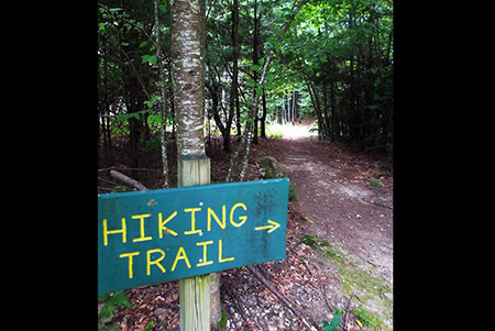
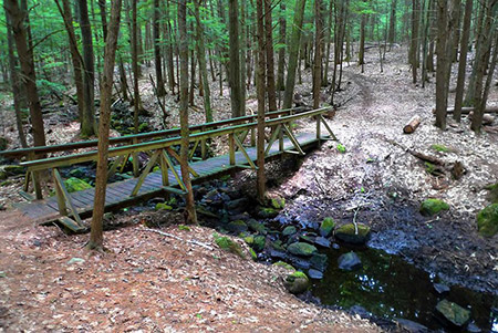
The 1.7 mile trail begins by a kiosk in the parking area off Rollins Road and is marked by yellow blazes. About 100 yards after entering the forest, the trail crosses a bridge over Rachael’s Brook. Soon after the crossing, a trail junction marks the beginning of the loop trail. To the right are steep slopes and hemlock groves. To the left the trail rises more gradually.
There is a cut-off situated halfway through the loop. The cut-off is about 200 yards long and reconnects to the loop trail.
There is also a trail spur to Main Street which comes out just before Hawthorne Hill Road. It’s a short walk down Main Street to connect with the trails at Kimball Lake. These trails are part of the Greenway loop trail around Hopkinton Village. From the trailhead parking on Rollins Road, the Greenway trail heads east, parallel to Rollins Road, before crossing Rollins Road and following an unmaintained town road to Briar Hill Road.
-
The Hawthorne Town Forest trail map is shown below. Please click the text or image link to open/download/print the PDF map.
Hawthorne Town Forest Trails – Click here to open/download/print PDF map.
-