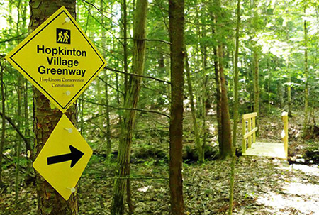
Hopkinton Village Greenway
-
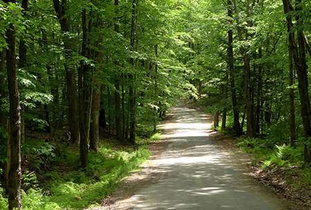
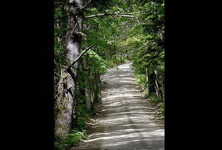
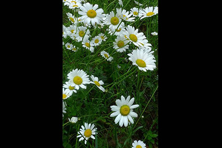
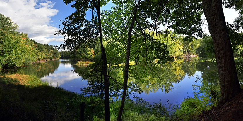
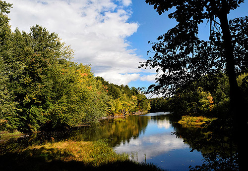
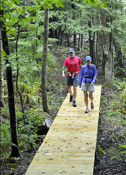
The Hopkinton Village Greenway – 4.5 miles of walking trails – connects town forests and conservation lands surrounding Hopkinton Village. The Greenway links existing trails on Hawthorne Forest, Ransmeier Woods and Kimball Lake with new trails on other town parcels, private lands and Class 6 roads. The trail offers a unique opportunity for walkers of all ages to experience the natural lands that lie within a short distance of the Village center.
Directions:
The Greenway can be accessed at the trailhead parking areas at Kimball Lake, Ransmeier Woods, and Hawthorne Forest, or from the center of Hopkinton Village.Walking times:
Approximately 2 ½ hours to complete the entire Greenway. Shorter loops are available by walking individual sections and following town roads or other trails back to starting point. -
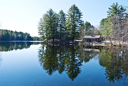
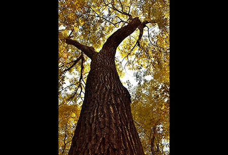
The Conservation Commission’s vision for a greenbelt of protected land around Hopkinton Village began in the early 1990’s following the acquisition of Hawthorne Forest. The Commission developed trails at Hawthorne Forest and Kimball Lake (donated to the town in 1982) and linked them to New Road, a Class 6 road off South Road. Gradually the Conservation Commission, with help from Open Space Bond funds and other funding sources, acquired additional lands surrounding the village center. Today, nearly 400 acres are protected around the village.
The Hopkinton Greenway trail was developed and is maintained by an all-volunteer crew, under the leadership of the Conservation Commission. The trail is made possible by the generosity of private landowners who have permitted the trail to cross through their lands.
Trail Description
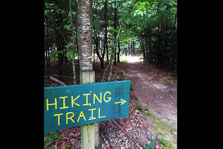
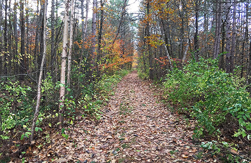
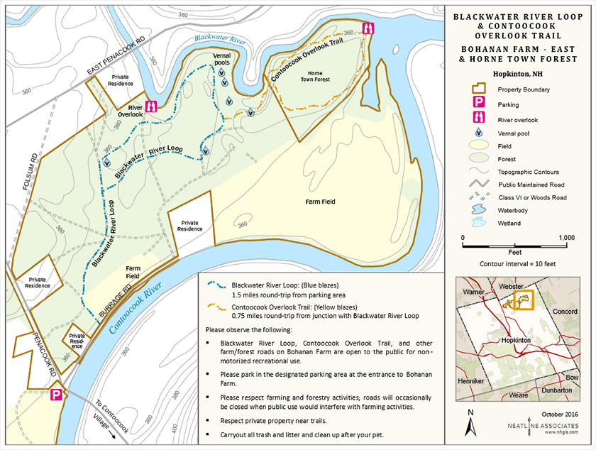
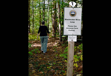
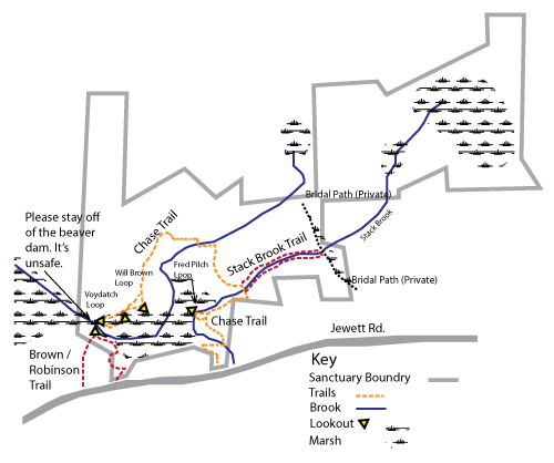
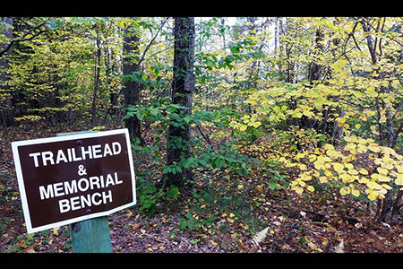
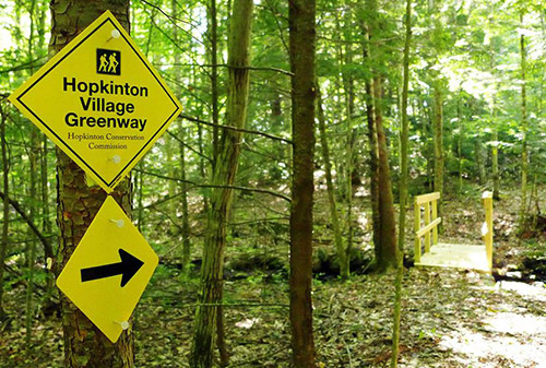
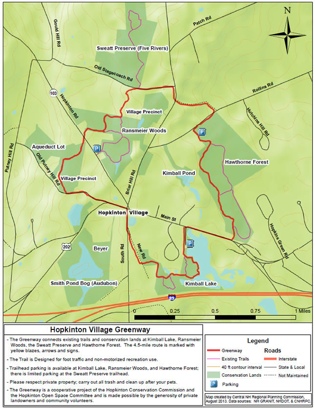
The 4-5 mile trail is marked with yellow blazes, arrows and signs. Starting at Kimball Lake and walking in a clockwise direction, the trail breaks into five sections:
Kimball Lake to Hopkinton center: 1.23 miles
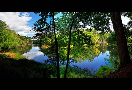
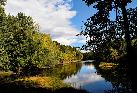
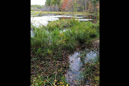
Beginning at the parking area at Kimball Lake, the trail follows an old woods road along the lake. The trail skirts the edge of the water, then winds by wetlands and streams before joining the unmaintained section of New Road. Turn right on New Road and continue to South Road. Follow South Road to the center of Hopkinton by the Cracker Barrel Store.Hopkinton center to Route 103: .84 mile
At the Cracker Barrel store, cross Route 202, turn left (Veteran’s Park will be on your right), and follow along the road to Old Putney Hill Road. Follow Old Putney Road .3 miles to a woods road on the right. The trail winds its way through forested land owned by the Hopkinton Village Precinct and the town’s Aqueduct Lot. Cross Route 103 to pick up the trail on the opposite side of the road.Route 103 to Stagecoach Rd at Sweatt Preserve: .61 mile
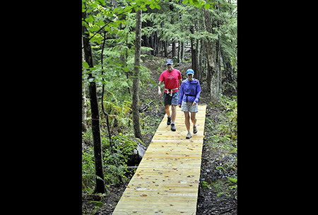
This section begins on the northeast side of Hopkinton Road on the Ransmeier Woods property. A short section crosses over boardwalks and bridges before joining the existing blue trail of Ransmeier Woods. Turn left at the trail junction and follow the blue trail to its intersection with the Greenway. Turn left on the Greenway, heading north across private land to the junction with Old Stagecoach Road. The trail emerges directly across from the trail on the Sweatt Preserve.Note: From the parking area at the Ransmeier Woods trailhead (next to the Police Station on Hopkinton Road), follow the orange trail to the blue trail, cross over the footbridge and continue on the blue trail to its junction with the Greenway.
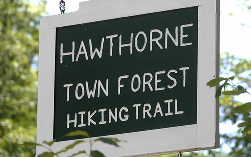
Stagecoach Road to Hawthorne Forest trailhead: .79 mile
Turn right on Stagecoach Road and continue .2 mile to Briar Hill Road. Turn right on Briar Hill and look for the Greenway trail on the left. The trail follows an unmaintained town road up the hill to Rollins Road. The upper portion of the public way serves as a driveway for several homes off Rollins Road. Cross Rollins Road and pick up the trail on the other side. The trail parallels Rollins Road until it joins the trailhead parking area at Hawthorne Forest.Hawthorne Forest trailhead to Kimball Lake trailhead: 1.15 miles
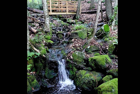
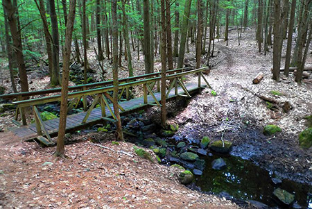
Follow the Hawthorne Forest trail from the parking area, through the woods and across the footbridge. After the bridge, turn right and follow the yellow blazes to the connector trail to Main Street. Turn right on this trail (marked “to Main Street”), and turn right again on Main Street. It is .3 mile back along Main Street to Kimball Lake.Connector from Greenway to Putney Hill Road and Dolly Road
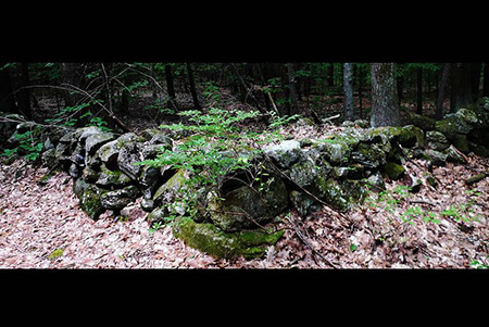
In the fall of 2014, a new trail section was built to connect the Greenway to the historic sites on Putney Hill Road and to Dolly Road via the First Parsonage Road trail. The trail connector begins on Putney Hill Road at the historic cellar hole identified as the “First Parsonage”. To the east, the trail crosses a field and follows stone walls on the Aqueduct Lot town forest where it connects with the Greenway. Along this section of the trail, recent logging opened a view to the northeast. To the west of the First Parsonage site, the trail follows the old roadway downhill to Dolly Road. -
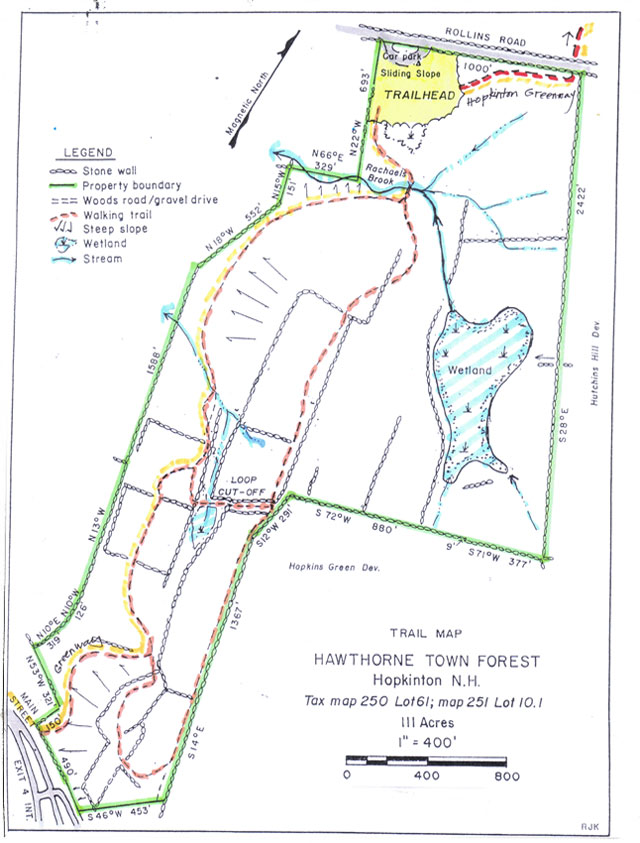
The Hopkinton Village Greenway trail map and the Greenway Connector to Putney Hill and Dolly Road map are shown below. Please click the text or image link to open/download/print the PDF map.
Hopkinton Village Greenway – Click here to open/download/print PDF map.
-
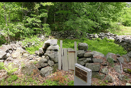
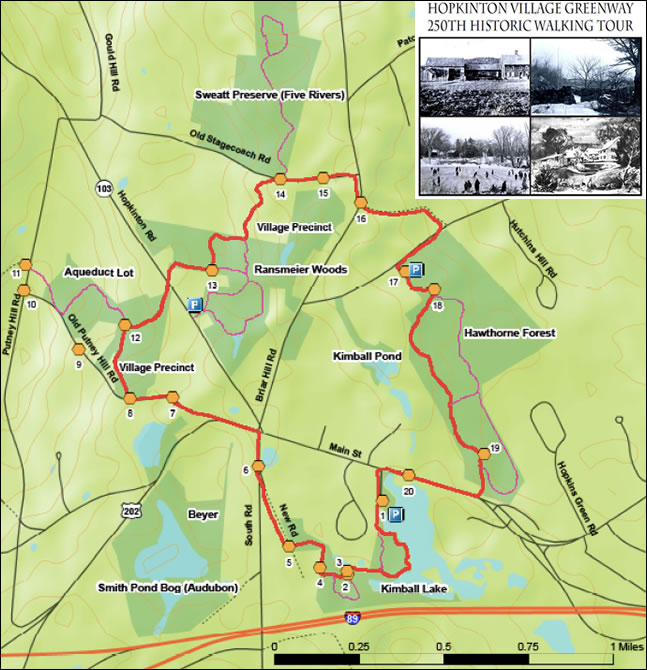
Explore the history along the Hopkinton Village Greenway! From Kimball Lake to the Town Pound to the site of an Indian raid. Twenty informational stations will help you relive Hopkinton’s history while experiencing our beautiful conservation land.
Self-Guided Historic Walking Tour Guide – Click here to open/download/print PDF Tour Guide Brochure.
Station Signs for Self-Guided Historic Walking Tour – Twenty signs that provide specific details about each of the historic sites are displayed along the Greenway. If you would like to view/download them, click here.
-