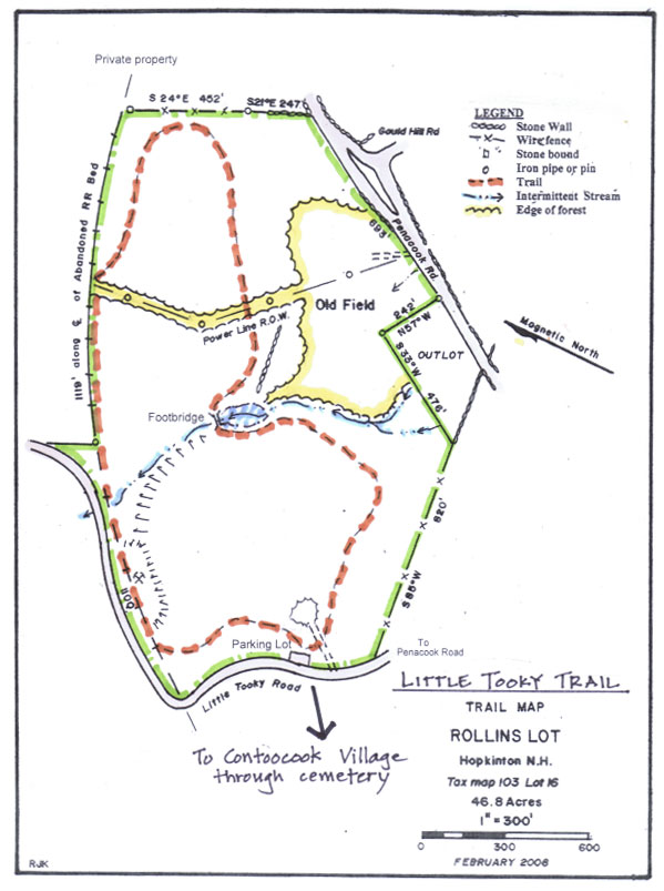
Little Tooky Trail
-
The Little Tooky Trail, on the Rollins Lot, was built in 2019 as a collaborative effort between the Hopkinton Conservation Commission and Boy Scout Troop 77.
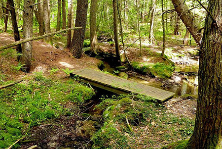
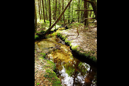
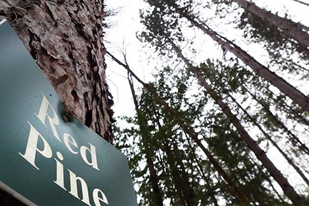
The trail, which can be accessed from a parking area .2 miles down Little Tooky Road, is a 1-mile loop through an oak-pine forest. Walkers can find evidence of past farming and pasture land in abandoned farm equipment and old sheep fencing.
A recent logging operation created openings where raspberries and blueberries abound. The trail connects to the abandoned track of the Concord-Claremont Railroad line that went from Concord to the tip of Lake Sunapee.
For a longer walk, start at the gazebo in Riveryway Park and follow the Little Tooky Trail signs through the Village and the Contoocook cemetery to the trailhead on Little Tooky Trail. Visit the Depot Museum at Riverway Park to learn more about the historic Concord-Claremont line.
Walking Times:
From trailhead on Little Tooky Road: 1 mile, 30 minutes
From Riverway Park: 2.5 miles, 1 to 1-1/4 hour -
The Little Tooky trail map is shown below. Please click the text or image link to open/download/print the PDF map.
Little Tooky Trail – Click here to open/download/print PDF map.