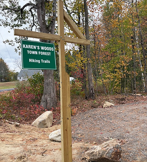
Tyler Landing Town Forest
-
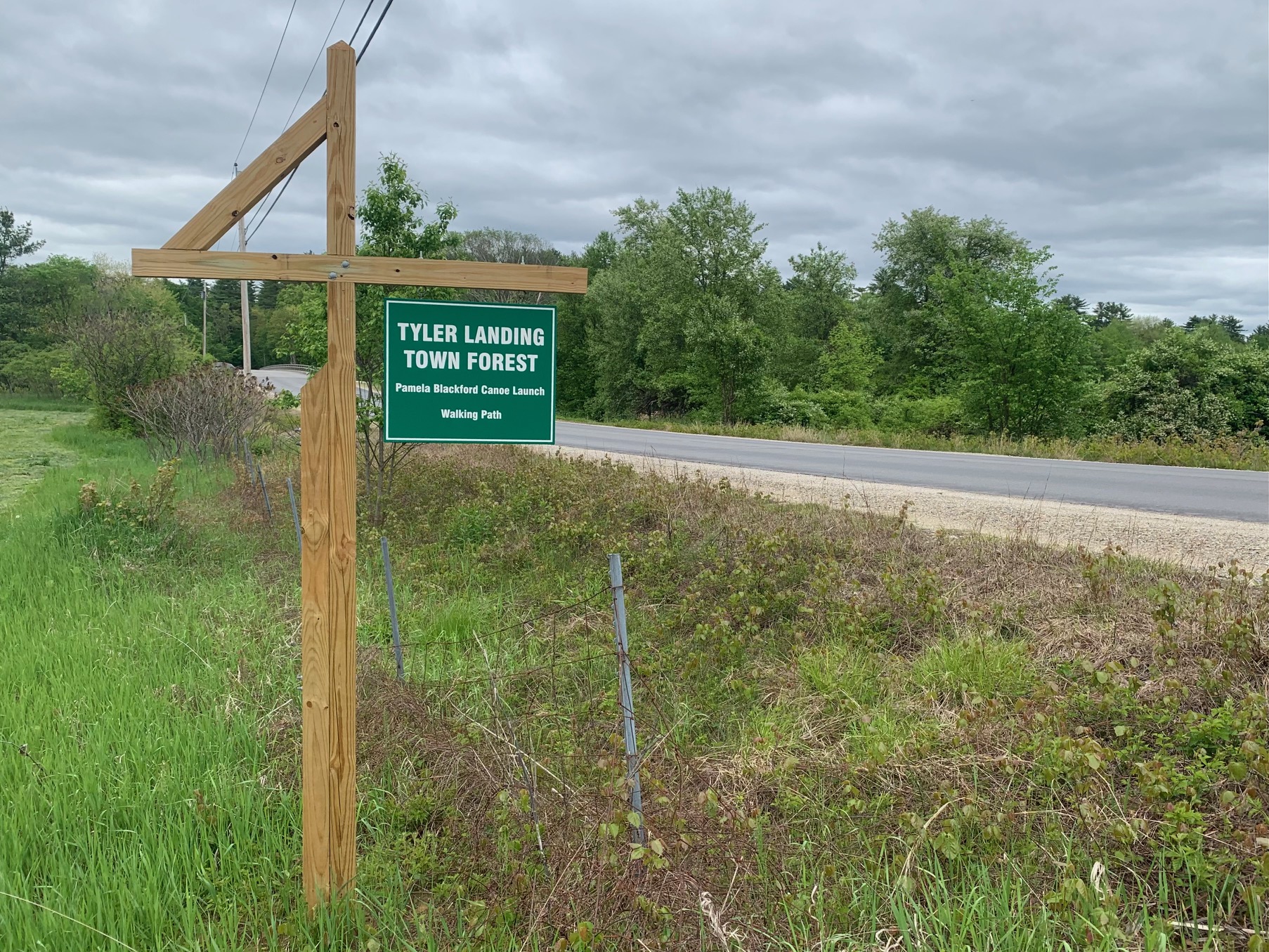
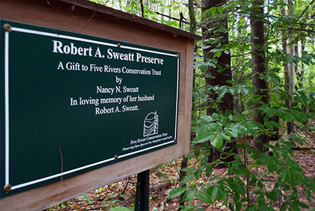
Tyler Landing Town Forest / Pamela Blackford Canoe Launch and Walking Path
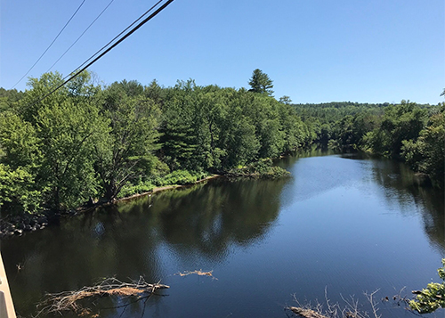
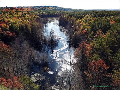
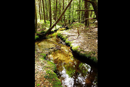
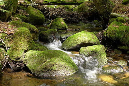
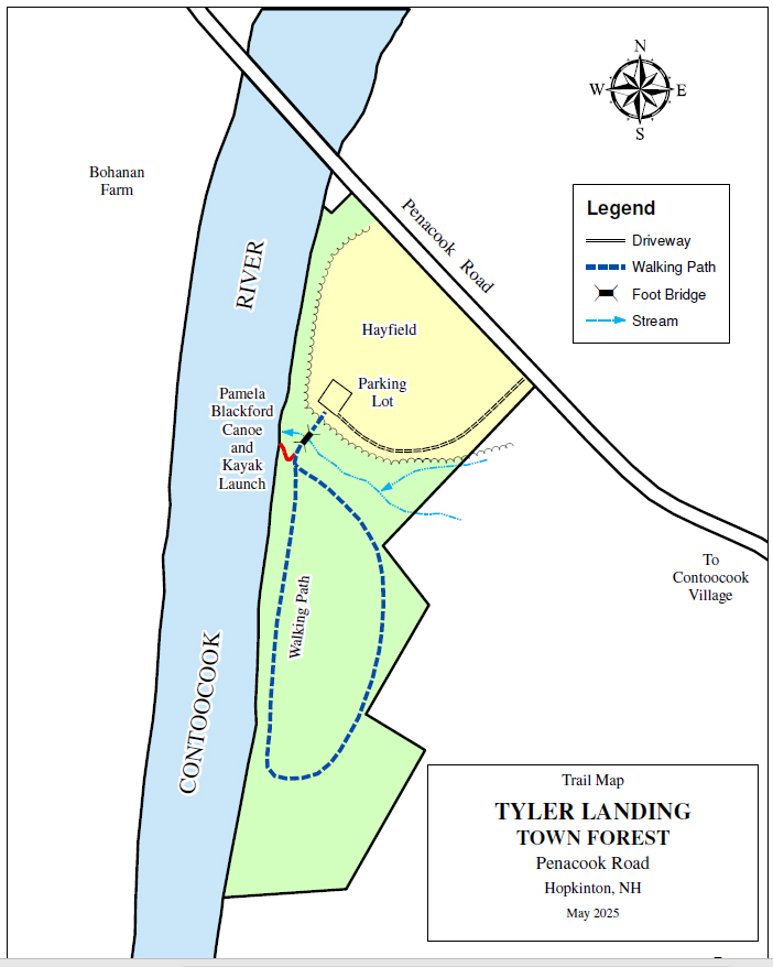
Tyler Landing is a 5.7-acre Town Forest located on Penacook Road near Tyler Bridge. The property protects 1,100 feet of frontage on the Contoocook River. The name Tyler Landing is a reference to the ferry that shuttled travelers across the Contoocook River from this property before a bridge was built.
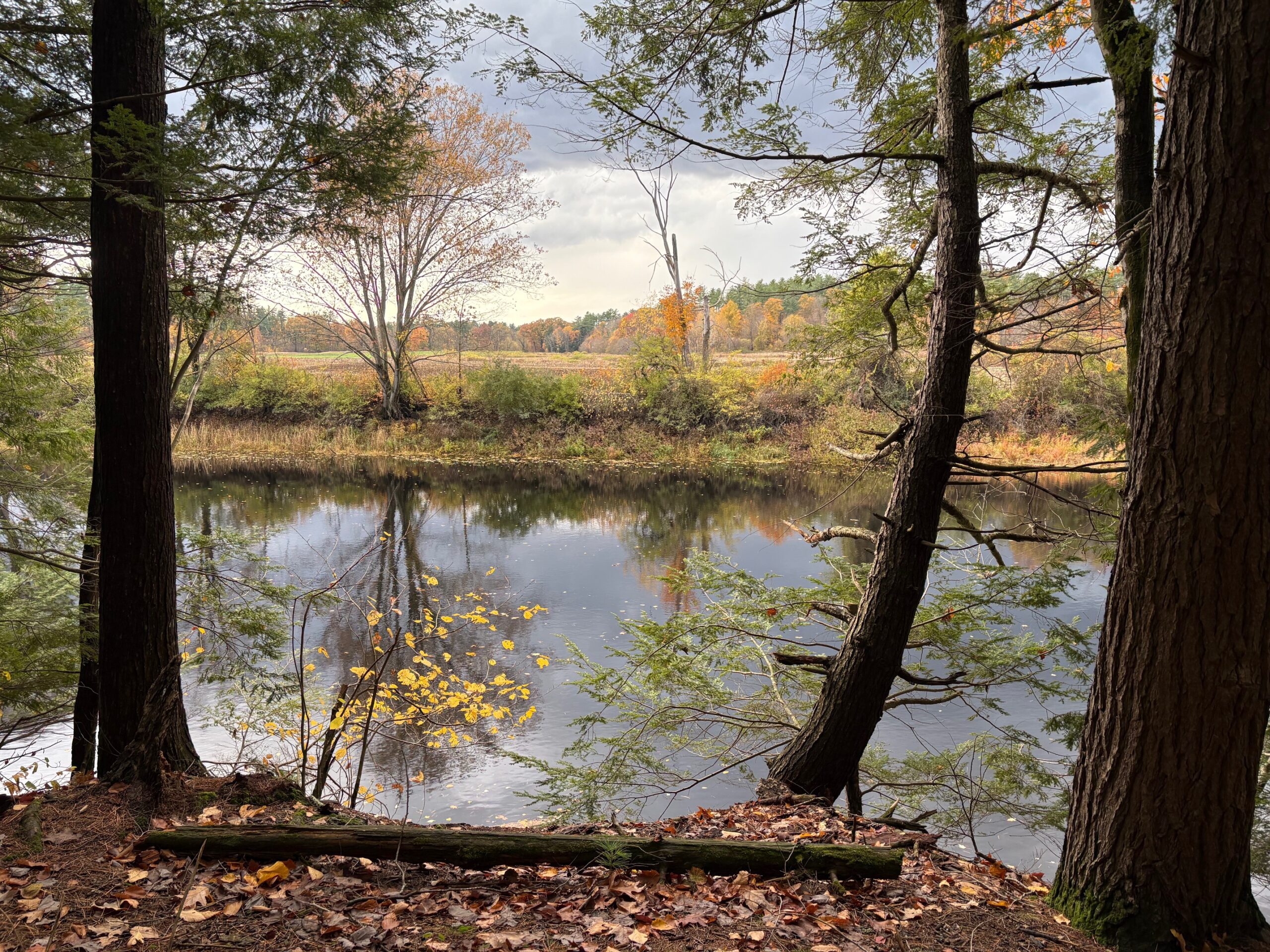
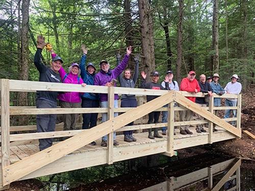
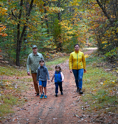
Thanks to generous funding from the Blackford family, the property has been enhanced for public access with a canoe launch, walking trail, and small parking area.
Directions:
From Contoocook or Hopkinton Villages, take Penacook Road towards the Transfer Station. The property is located next to Tyler Bridge on the west side of Penacook Road, across the Contoocook River from Bohanan Farm. The access drive is marked with a Tyler Landing sign. -
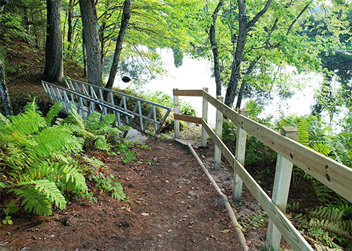
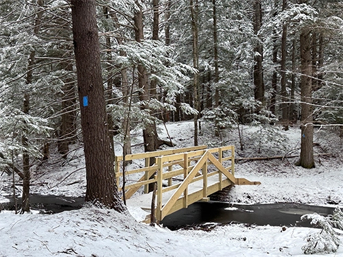
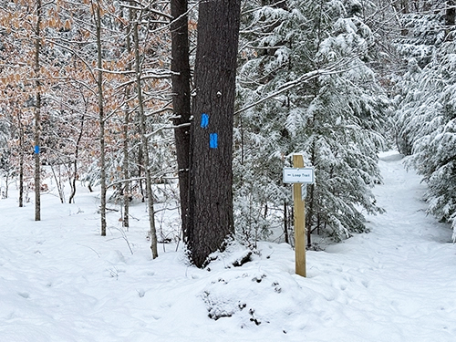
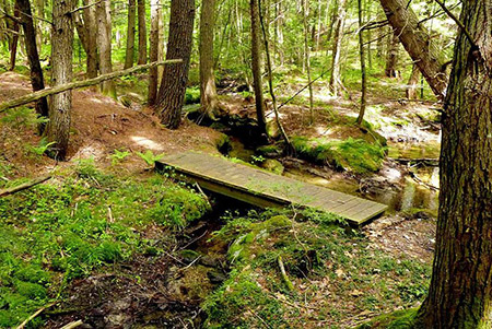
Walking path: Walking path: .3-mile loop Canoe Launch: From the parking area, follow the path along the fence, cross the metal bridge, and turn right toward the river.
History:Tyler Landing was acquired by the town in 2021 with funding provided by the Hopkinton Conservation Commission and the NH Drinking Water and Groundwater Trust Fund, a grant program administered by NH Department of Environmental Services to protect community water sources. The property is located within four miles of the Riverhill intake for the City of Concord water supply.
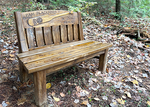
The Pamela Blackford canoe launch and walking path was generously donated by the Blackford family in memory of Pamela, a long-time Hopkinton resident who loved paddling on the river. Pam came to Hopkinton in 1958 when she married John Blackford, an owner of HMC Corporation in Contoocook. They raised their three children in town and were active members of the Hopkinton community until they moved to a retirement community in 2011. The Blackfords were inspired to give back to the town of Hopkinton in appreciation for their many years in town, wanting to provide residents some of the same outdoor recreation opportunities that their family enjoyed. A beautifully crafted wooden bench along the trail, dedicated to Pam Blackford, offers a quiet respite along the river.
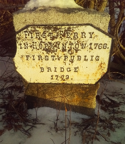
History of Ferry Crossing, from “Life and Times in Hopkinton NH” by C.C. Lord:A historic marker located across the river on Bohanan Farm (near the parking area off Penacook Road) notes the site of Hopkinton’s first ferry: “First Ferry in Hopkinton 1766; First Public Bridge 1779”.
In “Life and Times in Hopkinton NH”, author C.C. Lord wrote about a second ferry authorized by the Town in 1772 and operated by Thomas Bickford until the first bridge was built in 1779:
“On the 29th of December, 1772, a vote was passed to build a ferry ” over Contoocook river,” and Captain Putney, Lieutenant Chandler, and Lieutenant Straw were made a committee to effect the purpose. This seems to have been a second ferry, below Contoocook village, at a point near the spot where Tyler’s bridge is now located. This ferry was, for a longer or shorter time, managed by Thomas Bickford. On March 1, 1773, the following acts in relation to this ferry were passed: Voted to give Mr Thomas Bigford the ferra and the old Boat as it is now with his Coming under Bonds to free the Town from all Charges Relating the feary and his Building and Keeping a Boate Sufficiant to Drive in a Cart with one yoake of oxen and a Load for Six During his Life.
The location of the old Bickford ferry is now recognizable, the place being a few rods up the river from Tyler’s bridge, where vestiges of the ancient appointments remain.”
From “Life and Times in Hopkinton NH”, by C.C. Lord, Published 1890
-
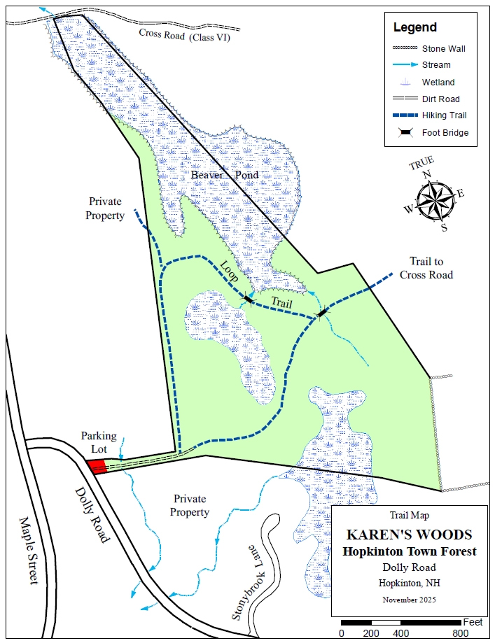
The Tyler Landing Town Forest trail map is shown below. Please click the text or image link to open/download/print the PDF map.
Tyler Landing Town Forest Trail – Click here to open/download/print PDF map.
-